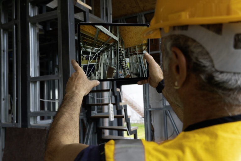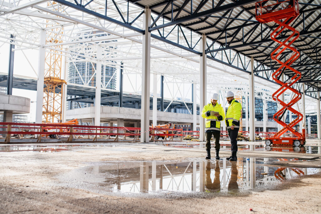
Every walk of a jobsite produces thousands of images. For years, those images sat in folders, useful as a record but rarely as an engine for decisions.
Spatial AI changes that equation. It reads jobsite imagery the way a seasoned superintendent reads a room, understanding where each photo sits in the building and what it shows about progress, quality, and risk.
For builders weighing how artificial intelligence fits into real construction work, this guide explains what spatial AI is, how it works, and where it already earns its place on active projects.
What is spatial AI in construction?
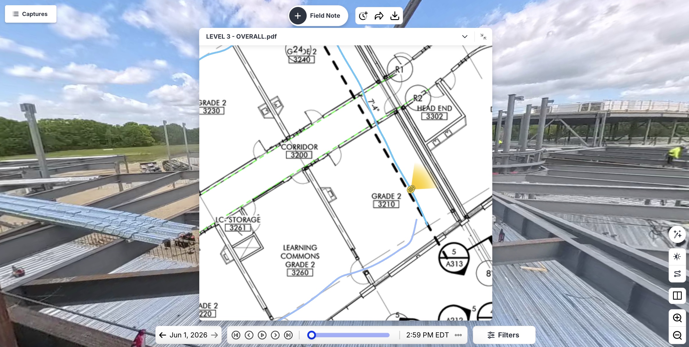
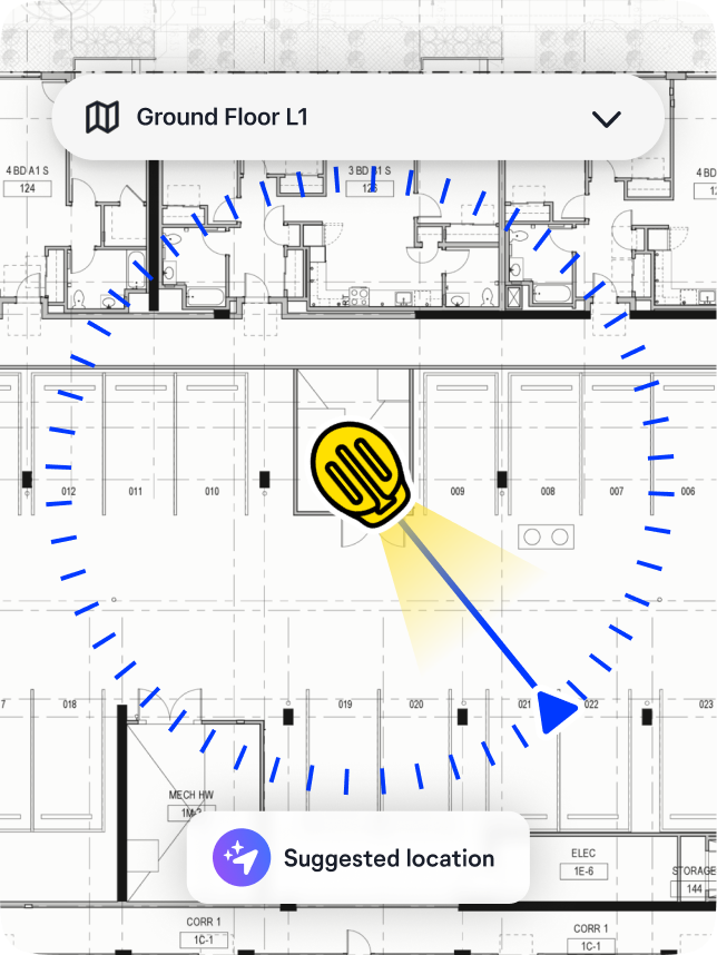
Spatial AI is artificial intelligence that understands images in the context of physical space and time. Instead of treating a photo as a flat picture, it maps that image to a precise location on a floor plan or BIM model, then tracks how that location changes across every site visit.
The result is spatial intelligence: a living, navigable record of a project rather than a stack of disconnected files.
The second axis is what sets it apart: time. Because spatial AI anchors every capture to the same point in space, it can line up months of visits to that exact spot and show how the work progressed. Ask what a wall looked like before the drywall went up, and the right image from the right date returns in seconds.
From reality capture to spatial intelligence
Reality capture solved the first problem: getting a complete, current visual record of a site without sending people to walk every corner with a clipboard. Smartphones, 360° cameras, and drones made that record easy to gather at scale. You can see how the fundamentals work in this guide to reality capture in construction. But a record alone does not make a decision.
As capture became routine across the industry, the value moved up a layer, from documenting what happened to interpreting what it means. That shift, from reality capture to spatial intelligence, points to the future of construction technology.
Spatial AI is the engine behind it, turning raw imagery into context the field and office can act on. OpenSpace built its Visual Intelligence Platform on exactly this progression, treating capture as the entry point to higher-value interpretation and ongoing development rather than the destination.
“For a long time, the hard part was getting a complete, current record of the site. That problem is largely solved. A foreman with a smartphone can document a floor in minutes, so capture stops being where the advantage lives. The advantage moves to what happens after, to whether all that imagery tells you something you can act on. I have watched this shift play out across a few companies, and the pattern holds. The teams that get ahead treat capture as the starting point for intelligence rather than the finish line, and that is where I would put the investment.”
—Michael Jones, Head of Product, OpenSpace
How does spatial AI work? Machine learning meets the real world
Spatial AI works by combining computer vision, machine learning, and location awareness to place every image in space and time automatically. A field team walks the site, capturing 360° imagery as they go.
The Spatial AI engine then matches visual features in those images against the floor plan, pinning each frame to its real position without manual tagging. The underlying computer vision models improve over millions of captures, getting sharper at recognizing what they see and where it belongs.
OpenSpace describes this as a flywheel with four stages:
- Capture: Imagery flows in from smartphones, 360° cameras, and drones through 360 reality capture software.
- Enrich: The platform layers on context from location, time, the BIM model, and expert field notes.
- Learn: The AI extracts patterns across every capture.
- Act: Those patterns drive reporting, alerts, and workflows.
Each stage feeds the next, so more capture produces sharper intelligence, and the platform grows more useful the more a team uses it.
Spatial awareness: How artificial intelligence reads a jobsite
Spatial awareness is the ability to read a site the way a person does, grasping where things sit in relation to each other rather than only what shows up in a frame. It is what separates spatial AI from traditional AI, and the contrast is clearest side by side:
| Traditional AI | Spatial AI |
| Works with text, numbers, and standalone images | Works with imagery tied to a physical location |
| No sense of where anything sits in the real world | Maps every image to a point in space and time |
| Answers “what” | Answers “what” and “where” |
| Examples: chatbots, document analysis, large language models | Examples: progress tracking, as-built verification, design coordination |
That spatial grounding gives machines an understanding of the physical world, the same broad capability that helps autonomous vehicles navigate streets, here applied to the inside of a building under construction. For a project team, it means asking where a problem is and getting an answer pinned to a real location instead of a vague description.
What can spatial AI do on a jobsite? Real-world applications
On a jobsite, spatial AI powers progress tracking, as-built verification, design coordination, and faster issue management. Because every image is tied to a location, teams can compare what was planned against what is installed, flag deviations early, and document conditions for billing or claims with objective visual evidence. These are the real-world applications that move spatial AI from just an interesting concept to a daily working system.
It also speeds up everyday field work. With location-aware capture, a superintendent logs an observation, and the platform pins it to the plan automatically and syncs it to Procore or Autodesk without retyping anything through construction task management software. Owners and remote stakeholders get the same view of site reality without flying out to walk the site in person.
“The honest version is that spatial AI is very good at the things you can see and verify. It can tell you where a capture sits, what changed between two visits, and whether installed work matches the plan, because all of that is grounded in imagery tied to a real location. Where I draw the line is judgment that depends on context the camera never saw. The platform can surface that a deviation exists and put it exactly where it happened, but a person still decides whether it matters and what to do about it. The useful shift for a project team is that the documentation stops being a separate task and becomes a byproduct of walking the site, so the question moves from ‘do we have a record’ to ‘what does the record tell us.”
—Gabriel Denis-Arrue Munes, Product Manager, OpenSpace
See what spatial intelligence looks like on your site. Request a demo.
Spatial AI in action: Connecting global teams to site reality
The value of Spatial AI is sharpest on global projects, where decision-makers rarely set foot on site. Linxon, a joint venture between AtkinsRéalis and Hitachi Energy, builds electrical substations and grid infrastructure across Europe, the Americas, and the EMEA region. Its experts often sit thousands of miles from the sites they are responsible for.
By capturing site reality and turning it into shared visual intelligence, Linxon connects those distributed teams to current site conditions without constant travel. On a major substation project in Saudi Arabia, site crews captured 360° walkthroughs every other day, giving remote planners and controllers an accurate, time-stamped view of the work, so they could review progress and update schedules from anywhere.
Replacing scattered status updates with a structured visual record, the company reported a 10 to 15 percent reduction in time spent on site, along with fewer hours lost to administration.
Frequently asked questions
How does spatial AI improve construction progress tracking?
Spatial AI improves progress tracking by comparing location-tagged imagery over time against the plan, so teams verify installed work visually instead of estimating it. OpenSpace Track pairs this with human review to confirm accuracy, which makes the output defensible for billing and schedule sign-off. Teams see planned versus actual status without manual counting or a site walk for every update.
What is the difference between spatial AI and BIM?
BIM is the digital model of how a building should be designed and built, while spatial AI captures and interprets how the building is coming together on site. In short, BIM helps define the intended state and spatial AI provides the verified reality measured against it. Used together, they let teams compare models to as-built conditions, evaluate site factors, and catch deviations early.
Do I need special equipment to use spatial AI on-site?
No. Spatial AI runs on imagery from everyday smartphones, off-the-shelf 360° cameras, and drones, so most teams start with hardware they already own and do not need to rely on specialized equipment. OpenSpace Capture works on any smartphone and gets humans productive in about 15 minutes with familiar devices.
Turning site reality into action
Spatial AI marks a real shift in how builders use the imagery they already collect, moving from a static record toward intelligence that drives daily decisions. As the industry works to close a long-standing construction productivity gap, the firms that turn site reality into action will set the pace.
See what spatial AI can do on your own jobsites. Request a demo to watch OpenSpace turn everyday 360° captures into verified progress and decisions you can stand behind, or reach out to talk through a specific project.