Waypoint 2023 Session 2: Getting the Most Out of OpenSpace
Replay this webinar to hear customer strategies for documenting with OpenSpace, improving coordination, and more.
Watch nowFrom design to install, putting your OpenSpace images at the center of your day-to-day activities makes everything clear and efficient. Our easy-to-use tools help you better coordinate work in the field and from the office—whether it’s across town or across the world.
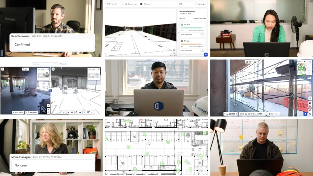
With greater visibility into its projects, Boldt Construction keeps the schedule and flow of the job going.
Suffolk Construction delivered early by keeping teams accountable and enhancing coordination.
Using Field Notes for issue mapping, Commodore Construction freed up the equivalent of two full-time salaries, so teams can focus on other tasks.
OpenSpace allows us to have real-time coordination with our project teams when they’re remote. If we walk on a Tuesday and have an RFI meeting on a Wednesday, we can pull up that walk and the model and clarify and coordinate issues in real time.
Letting the right people know what work needs to happen on-site is easy, organized, and visual with OpenSpace. Grab your mobile device, take a photo, and create a Field Note on the spot in the field. AI Autolocation automatically pins it to the right location on the floor plan—no manual tagging. Mark up the photo, add comments, and assign it to the right person. With AI Voice Notes, you can dictate observations and OpenSpace fills in the details automatically. Using Field Notes is the fastest way to get answers—visuals help everyone involved understand the problem, and comment history keeps things clear.
With OpenSpace Capture, your jobsite is fully documented, meaning architects, design engineers, and consultants can access a complete visual record of the project without being in the field. If you need to change a design or propose a new one, simply refer to OpenSpace to see the existing site conditions—that means relying less on the field team to answer questions, saving everyone time.
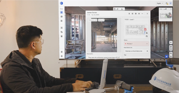
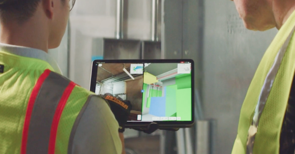
Handling a request for information (RFI) is fast and easy when your project is documented with OpenSpace. Rather than going on-site to take a new photo, navigate to the location in OpenSpace to find what you need and start coordinating right away. Create a Field Note and send it to your internal team for possible resolution.
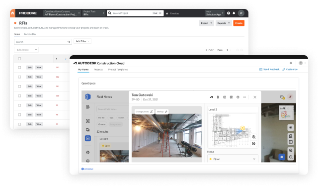
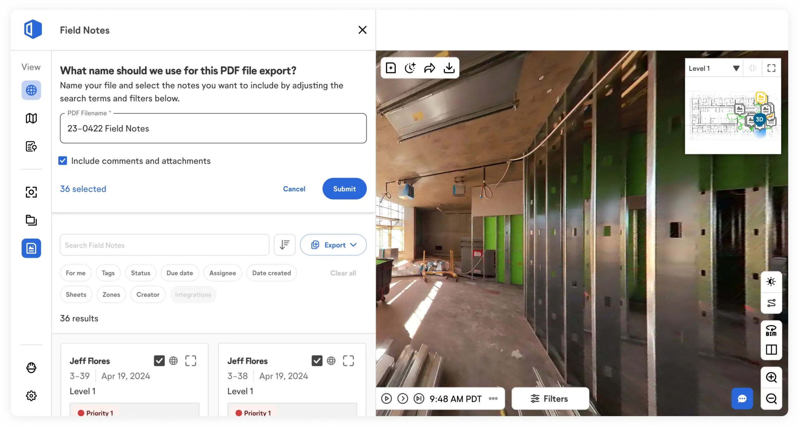
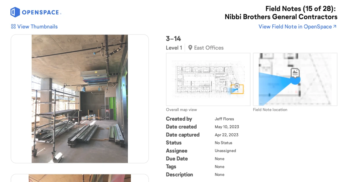
Field Notes makes it easy to create and manage issues or failed items directly from the field. During a site walk, flag a correction by snapping a photo—AI Autolocation places it on the floor plan automatically, so you can keep moving. With two-way sync, Field Notes flow directly into Procore Punch Items and Observations or Autodesk Issues, eliminating double entry and keeping office and field teams working from the same information. When you’re done with the walk, generate a PDF report of all Field Notes to send to responsible team members so they can address issues right away.
When submitting change order requests, use OpenSpace to provide all the backup documentation you need. Whether you need to prove when material arrived on-site or how long it took to complete an activity, OpenSpace has all the images timestamped, dated, and mapped on the floorplan for easy reference.
Navigate your captures to answer questions about your project today or in the past.
Compare any captured area from two different dates side by side.
Two-way sync with Field Notes + Procore and Autodesk keeps data aligned across both systems—no double entry.
Send a URL link to share a location in your capture that you want someone to view.
Share a set of captures with stakeholders—even those without an OpenSpace login.
Compare site conditions to your model and view sheet drawings overlaid on your model.
Use a pull-down to view a saved visibility state of a model.
Overlay items from your model on the image side for planning and QC.
Call out a discrepancy of on-site conditions along with the image and model, for fast issue resolution.
Import laser scan data into OpenSpace to compare on-site build to point clouds.
Add multiple models to a project—even break up large models to coordinate by floor or other scopes of work.
Import your BCF file of Field Notes to your BIM coordination tool, then access them as issues.
Save time by importing your model from BIM 360 Docs and Autodesk Build.
Document with 360° video, 360° photo stills, plus mobile phone stills to enrich Field Notes.
Use a Pro iOS device to get a three-dimensional scan with two-inch measurement accuracy.
Robust visual communication for clarity and faster coordination.
Run daily reports, change order back ups, and RFI logs—add comments and attachments for more detail.
Get alerts to quickly identify and tackle issues before they cause costly delays or rework.
Track trade progress. Access images and status updates—high level or detailed insights.
*Available in OpenSpace BIM+
**Available in OpenSpace Track