Build data centers faster with Visual Intelligence
See what’s built, what’s behind, what needs attention with OpenSpace. Keep complex data center projects on schedule, reduce risk, and deliver with confidence.
Built for data centers. Proven at scale.
1,000+
data center projects have run on OpenSpace
20 GW
est. data center capacity using OpenSpace
20%
fewer scheduling delays
41%
fewer insurance claims

When every week counts, visibility is everything
Thousands of workers. Dozens of trades. Tight deadlines. OpenSpace gives you a clear view of site conditions and verified progress. Spot problems earlier and keep construction moving.
Protect the schedule
See where work is falling behind and address delays before they affect critical milestones.
Know what’s really built
Get verified progress data and installed quantities. Backed by visual evidence instead of manual estimates.
Keep trades aligned
A clear view of site conditions, issues, hazards, and work that needs attention. For the field and office.
Reduce costly surprises
Catch defects and errors earlier, resolve disputes faster, and maintain a visual record of every stage.
From construction site capture to smarter decisions
Managing data center construction takes more than reports and occasional site visits. OpenSpace brings site documentation, field coordination, drone mapping, BIM, and verified progress tracking together in one Visual Intelligence Platform. Helping teams see what’s real and act faster.
Know what's built, down to the last quantity
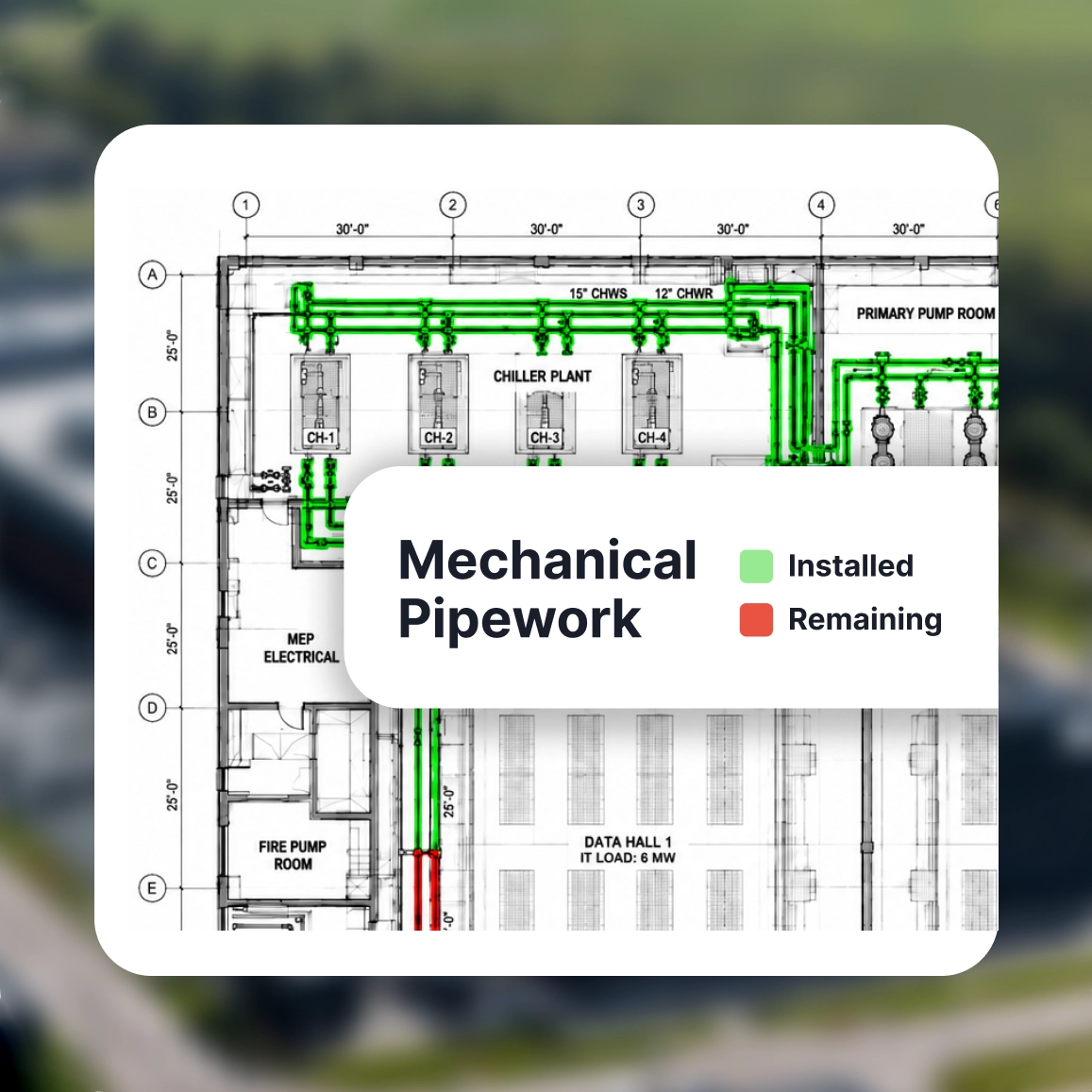
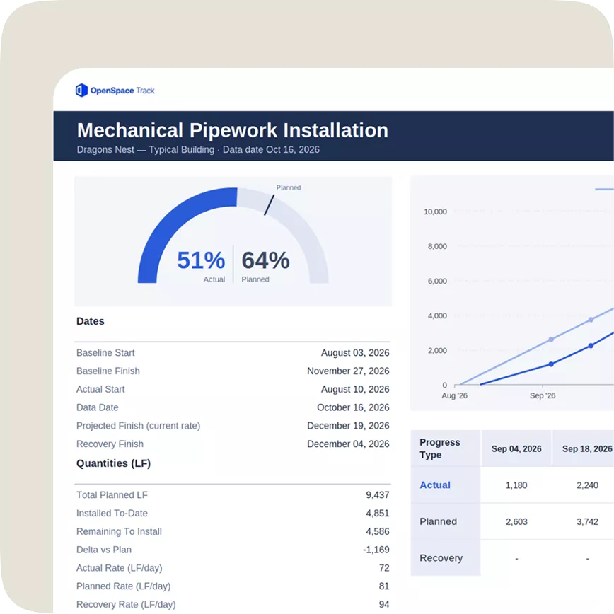
Get verified completion percentages, installed quantities, and planned vs. actual progress with OpenSpace Track. See completed and remaining work by trade, floor, or zone, with quantities measured in linear feet, square feet, or units and clear drawing markups. Support pay applications, budget reviews, and owner reporting with evidence you can trust.
Spot delays before they snowball
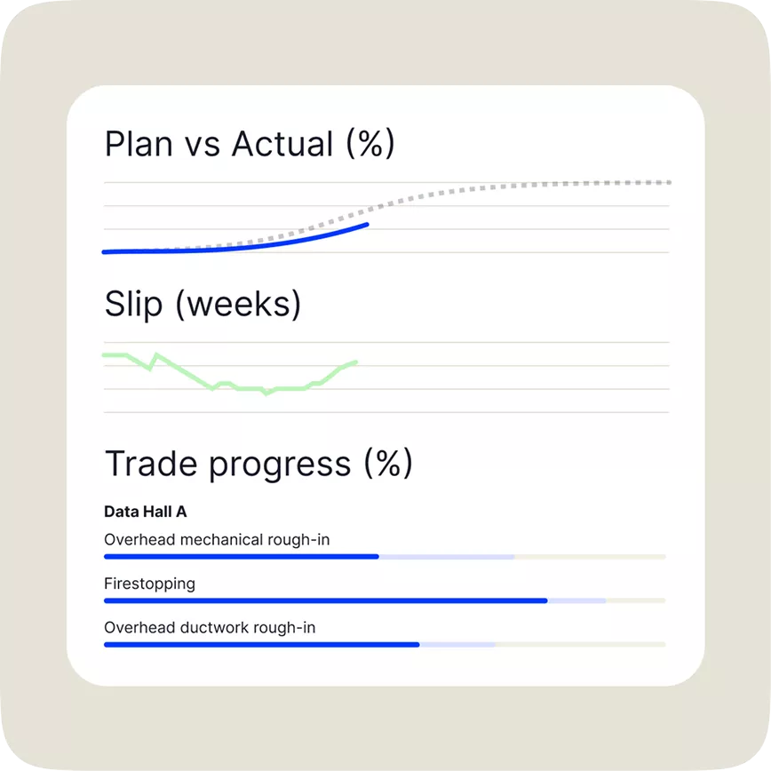
See which trades are falling behind and how that could affect the next crew. OpenSpace Track compares actual progress with the schedule, helping you identify risks early, adjust sequencing, and keep critical milestones on track.
Capture every stage, from foundation to commissioning
Document site conditions with smartphones, 360° cameras, and drones. OpenSpace maps images to plans, creating a visual record for quality checks, testing, coordination, commissioning, and handover. Short on time or resources to capture? Hand it off to our Walk & Pilot Services.
Keep MEP & access control installations coordinated
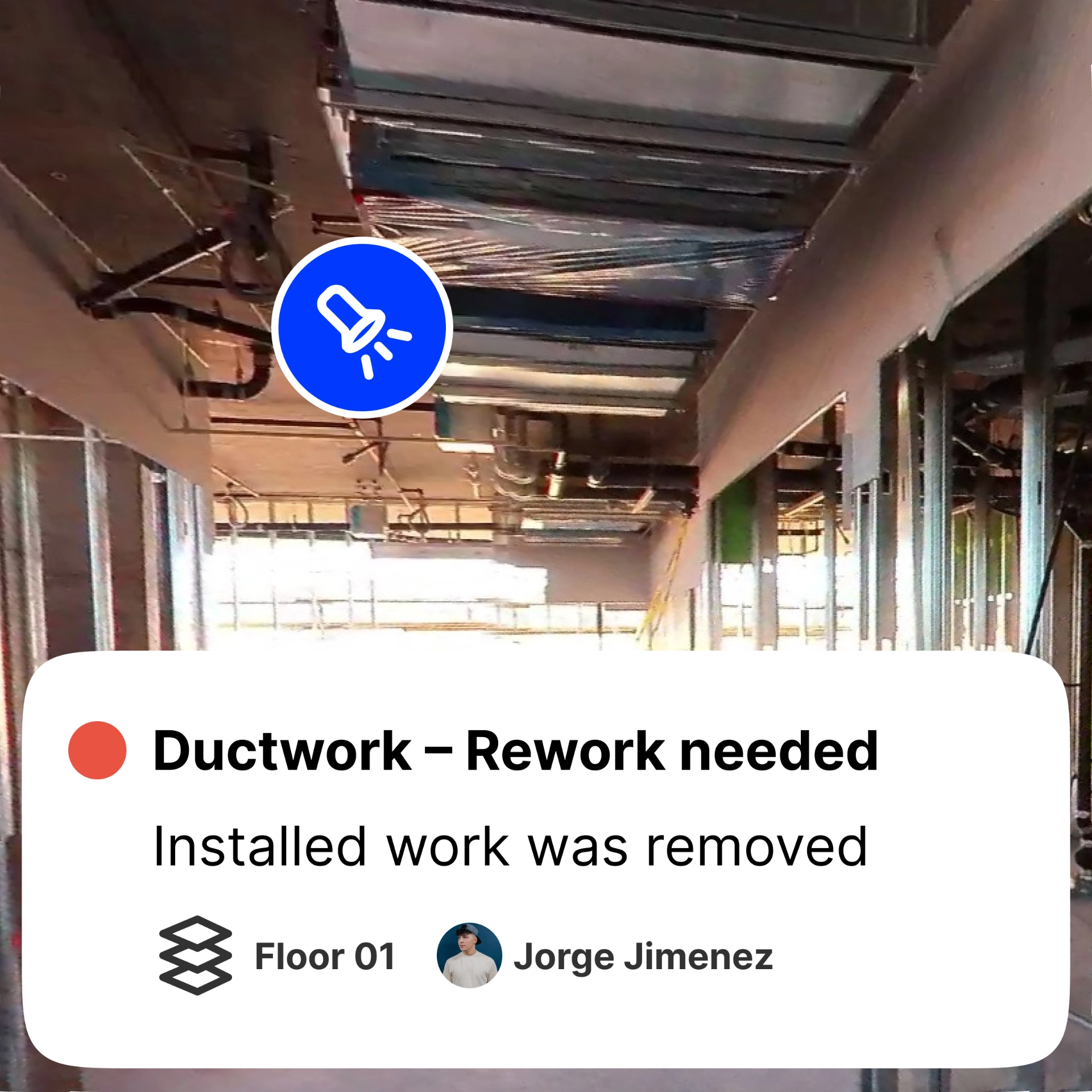
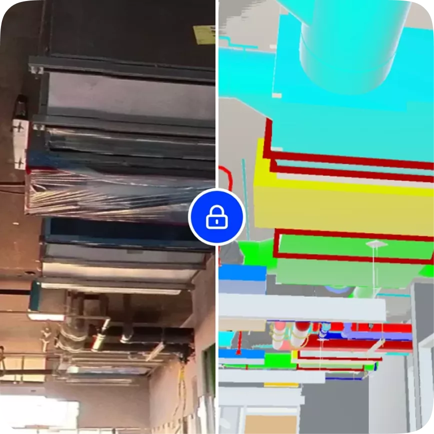
Compare installed conditions with BIM models to identify missing or misplaced ductwork, piping, and cable trays before they’re covered up. Capture and assign issues in the field. AI Autolocation pins them to the right spot, while two-way integrations with Procore and Autodesk keep everything in sync.
See the whole campus
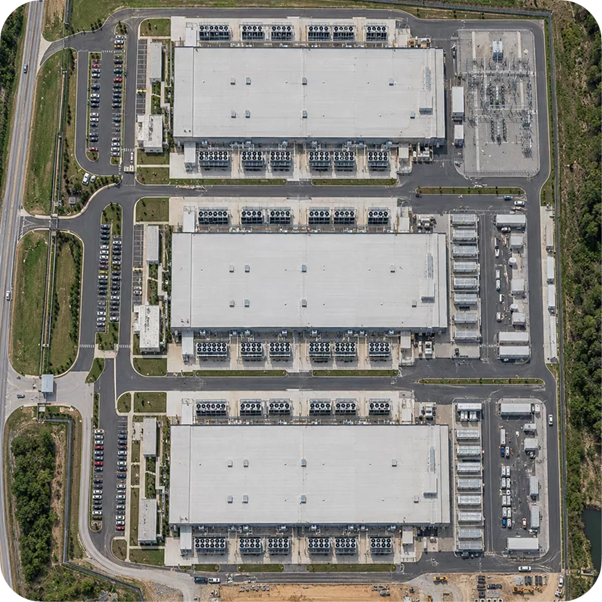
Turn drone imagery into orthomosaic maps, 3D models, and point clouds with OpenSpace Air. Monitor large sites and infrastructure, measure earthworks, compare conditions over time, and bring aerial and ground-level visibility into one platform.
Give stakeholders progress they can trust
Turn site captures into verified reporting for project and portfolio teams. Track completion, compare progress against the schedule, and bring trusted data into existing business systems with the OpenSpace Track API.
CUSTOMER STORY
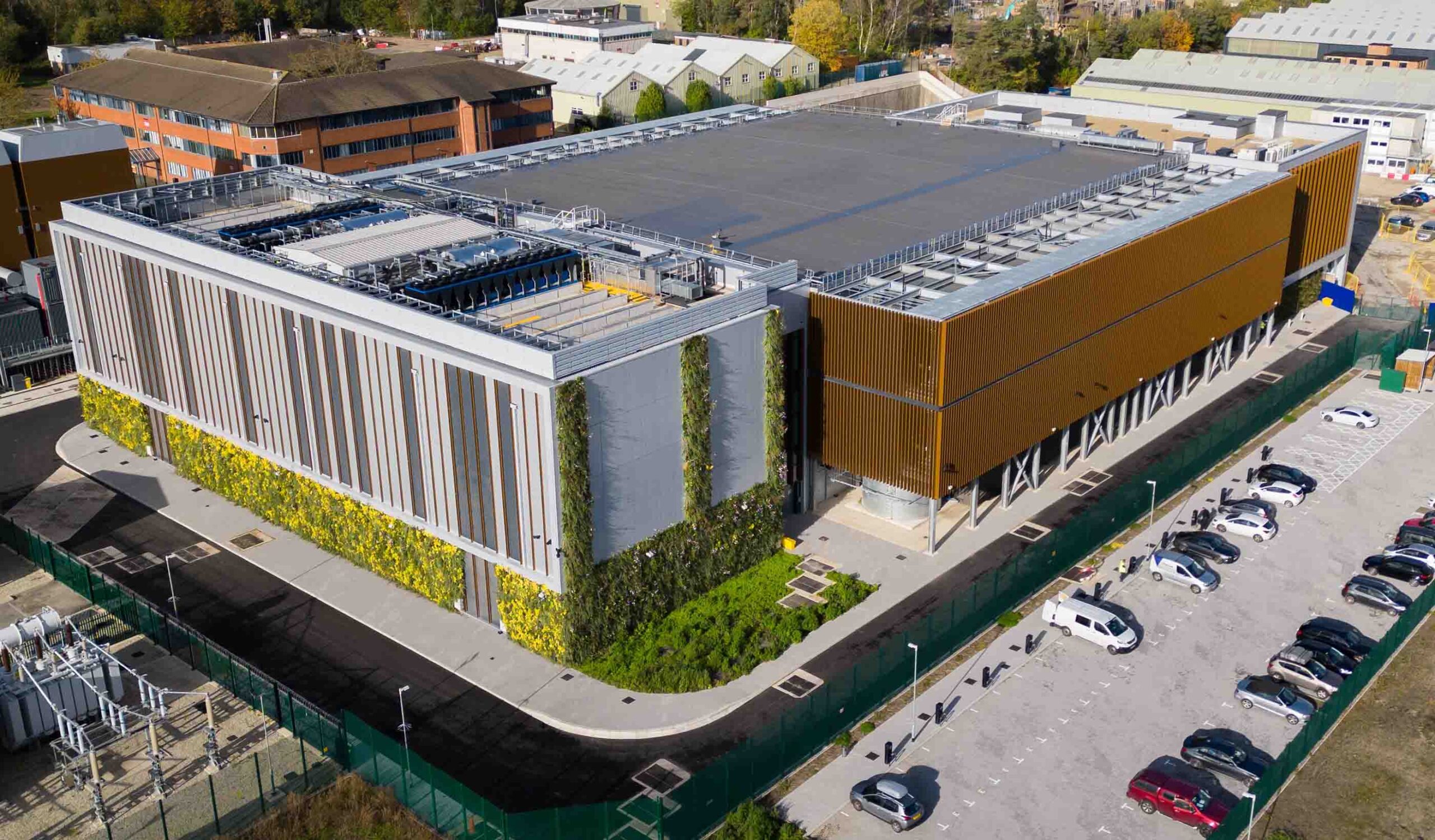
Sweet Projects delivers a data center with confidence
“On our Longcross [data center] project, OpenSpace gave us a clear, tamper-proof record of what was happening on-site at every stage. That visibility helped us stay on schedule and, in one case, unequivocally defend our position and avoid what could have become a dispute.” – Andrew Cross, Project Director

Your program moves fast. OpenSpace keeps up.
Frequently asked questions
What is data center construction software?
Data center construction software helps owners and contractors document, track, and manage data center builds from foundation to commissioning. OpenSpace maps 360° and drone images to plans, compares work to BIM, and verifies progress against the schedule.
How can teams track data center construction progress more accurately?
OpenSpace Track uses AI-powered analysis and expert verification to measure installed work against project drawings and schedules. See completion percentages, planned vs. actual progress, and installed quantities by trade and area. Quantity-based tracking adds measurements in linear feet, square feet, or units, with drawing markups that show what’s complete and what remains.
Does data center progress tracking require a complete BIM model?
No. OpenSpace Track can use 2D drawings and construction schedules to track progress, even when a BIM model is incomplete or unavailable. You can incorporate updated models as the project evolves, without waiting for every design detail to be finalized.
Can drone imagery support data center construction progress tracking?
Yes. OpenSpace uses drone imagery to help track progress on large data center campuses, including external works, utilities, and site infrastructure. Combined with 360° captures of interior work, drone imagery gives teams a more complete view of construction progress, from individual buildings to the broader campus.
How long does data center construction take?
Construction timelines vary by facility size, power requirements, equipment availability, and project complexity. Hyperscale data centers can take 12–24 months or longer, while smaller edge facilities may take less time. OpenSpace helps teams compare actual progress against construction schedules, identify trailing trades, and address delays before they affect critical milestones.
What are the different types of data center construction?
Common types include hyperscale data centers for large cloud providers, enterprise data centers for individual organizations, edge data centers that bring computing closer to users, and colocation facilities that serve multiple tenants.
Whether you’re building a single facility or an entire hyperscale campus, OpenSpace helps you document site conditions, coordinate trades, and track construction progress in one platform.
What are the key considerations for data center construction?
Power distribution, cooling systems, network infrastructure, and equipment installation require careful planning and coordination. Teams must also manage safety, security, compliance, testing, and tight construction schedules. OpenSpace delivers a visual record of site conditions, helping you coordinate specialized trades, and provides verified progress data to support better decisions.
What makes data center construction different from other construction projects?
Data centers combine tight delivery schedules with complex power, cooling, and networking systems. Installation errors or delays can affect commissioning, increase operational costs, and put operational readiness at risk. OpenSpace helps teams stay ahead with visual documentation, BIM coordination, and verified progress tracking from foundation to commissioning.
How does data center construction software work with building information modeling?
OpenSpace connects jobsite imagery with building information modeling (BIM), helping teams compare installed conditions with the model and identify missing or misplaced work before it’s covered up. Teams can capture and manage issues in the field via Field Notes. AI Autolocation pins your issues to the right spot, while two-way integrations with Procore Observations and Punch List items and Autodesk Issues keep details and statuses in sync.