
Walk & Pilot Services
You build. We capture.
OpenSpace Walk and Pilot Services is our professional capture service for teams that need reliable site documentation at scale—from stadiums and data centers to megaprojects. We handle recurring 360° walkthroughs and certified drone flights, giving every project a consistent visual record for portfolio visibility, progress tracking, issue resolution, and better decisions.

“Using OpenSpace allows us to have complete visibility of the jobsite at any time, from anywhere in the world.”
Consistent capture, at enterprise scale
Professional teams, proven process
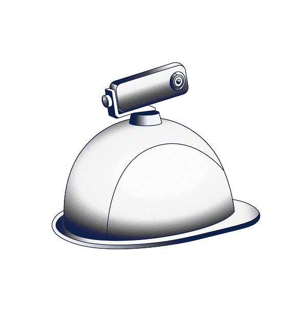
Our team shows up ready: trained crews with 360° cameras, certified drone pilots with the right gear. We handle scheduling and coordination with your site team, from one milestone walkthrough to a portfolio-wide program.


The coverage that’s right for you
Choose a regular 360° capture schedule—weekly, biweekly, monthly—and add captures for key milestones like pre-pour, pre-close, pre-handover. Our teams operate in-house across the UK and Ireland. In the U.S., certified drone pilots provide full national coverage, backed by a growing ground team and trusted partners nationwide.
One visual record across your portfolio
All your 360° and drone captures live in one place: our Visual Intelligence Platform. Everything time-stamped, spatially indexed, and aligned to your plans and BIM. A consistent visual record across projects, contractors, and locations. Compare locations side by side on different dates, resolve questions faster, and access intuitive insights with OpenSpace Track dashboards.


How Walk & Pilot Services works
01
Tell us what you need
Tell us about your project, sites, and cadence. And whether you need 360° walks, drone flights, or both. We’ll scope the work, price it, and set a start date. Just fill out our form or talk to your OpenSpace rep to get the ball rolling.
02
We’ll capture, you stay focused
Our team walks your site with 360° cameras, capturing 25K sq ft in 10 minutes—imagery ready to view in about 15 minutes. Certified drone pilots cover a full site in a single flight, with orthomosaics, elevation models, meshes, and point clouds ready in hours, not days.
03
See every site in one place
Log in to your OpenSpace account to see your 360° walks and drone flights. Images time-stamped, aligned to plans and BIM, organized by project and site, and searchable across your portfolio.
04
Scale up or add on
Start with a single 360° walkthrough, then expand to a portfolio-wide program whenever you’re ready. Add drone flights to any active build. Pair Walk & Pilot Services with your in-house capture program, ensuring your visual record stays consistent no matter who’s on-site that day.