
Capture
Capture your site, from every angle
From ground to sky, day zero through turnover—capture your site as it really is. Building Visual Intelligence for decisions based on reality.
Get a demo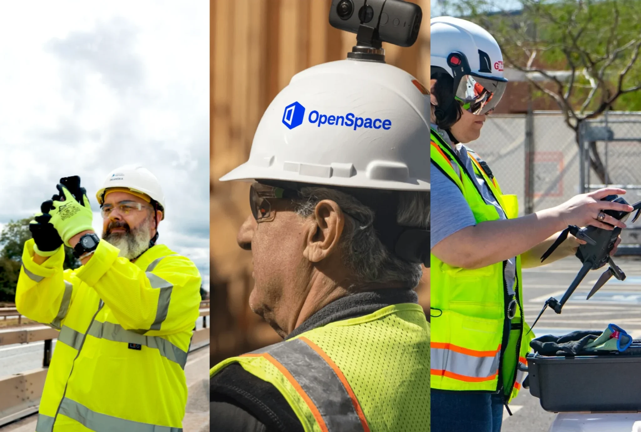

Capture your way
Document how you want—for a comprehensive visual record in one intuitive platform.
Smartphones
There’s a smartphone in every pocket—the fastest way to document insights in the field. Snap photos in our mobile app—our AI time-stamps and pins images to the right spot. Nothing lost on a camera roll.


360° cameras
Connect your 360° camera and walk. Document 25K ft2 in 10 minutes. OpenSpace time-stamps and maps every image to plans. View your captures in about 15 minutes.
Drones
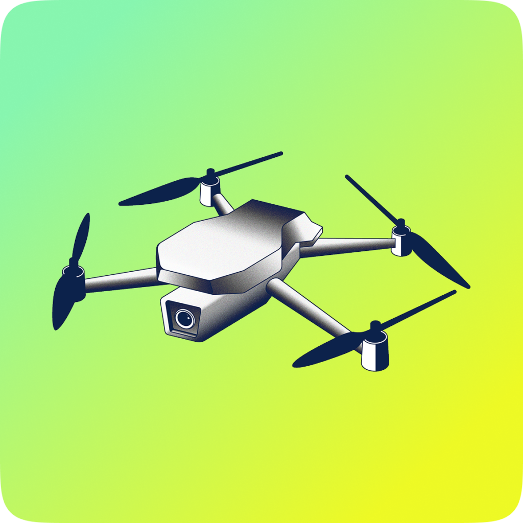
Fly any drone with any flight planning app. OpenSpace Air turns your imagery into orthomosaics, 3D meshes, and point clouds. Ready in hours, not days.
Laser scanners & LiDAR
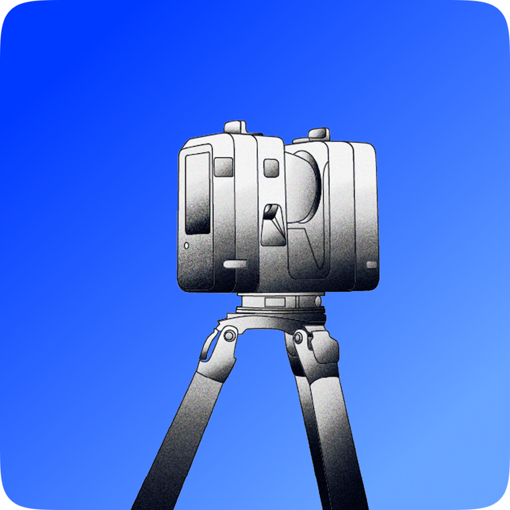
Import point clouds from laser scanners for accurate BIM coordination workflows. Quickly create 3D scans to take two-inch accuracy measurements with your LiDAR-enabled phone or tablet.
Walk & Pilot services
Capturing is easy, but if you’d like someone else to handle your 360° walks or drone flights, we’ve got you covered.


“A picture is worth a thousand words; OpenSpace is worth a billion words. It creates a full world.”