Learn what orthomosaics are, how they’re created from drone imagery, and how construction teams use them for accurate site mapping, measurements, and project tracking.
Explore how AI is transforming construction, from project planning to jobsite tracking, improving productivity, safety, and decision-making across every phase.
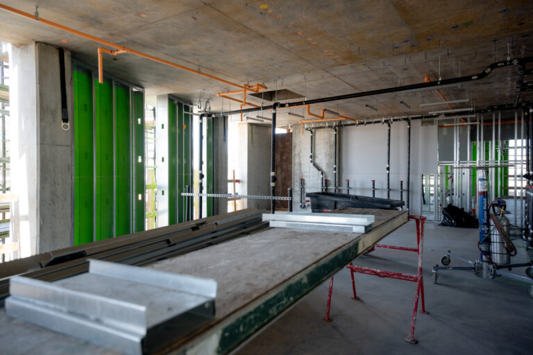
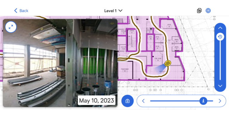
As a full-MEP-T contractor, CEC Facilities Group frequently needs to show accurate jobsite conditions before starting work. Having thorough, easy-to-navigate photo documentation to quickly show GCs true site conditions became a high priority.
Diese OpenSpace-Website passt nicht zu Ihrem Standort.
Möchten Sie lieber zu unserer deutschsprachigen Website wechseln, auf der Sie regionale Inhalte und Veranstaltungen finden? Wählen Sie unten Ihre Präferenz aus.