
The challenge
Anser Advisory works with developers and municipalities on heavy civil construction projects, including freeways, ramps and interchanges. Since manually taking pictures of each detail on a large civil project every day would be virtually impossible, relevant documentation for these projects often didn’t exist. Anser’s Resident Engineer, Lucas Rathe P.E., was looking for a documentation solution that would provide a thorough record of the project site and increase the efficiency of the inspection staff. Given the scale of these projects and Anser’s frequent interaction with the public, Rathe also sought a solution that would help improve their ability to respond to public inquiries and prevent contractor disputes.
The solution
Anser began piloting OpenSpace on a few projects in 2019, and quickly saw its potential. The ability to reproduce job site conditions via comprehensive imagery automatically mapped to project plans has been invaluable for project management.
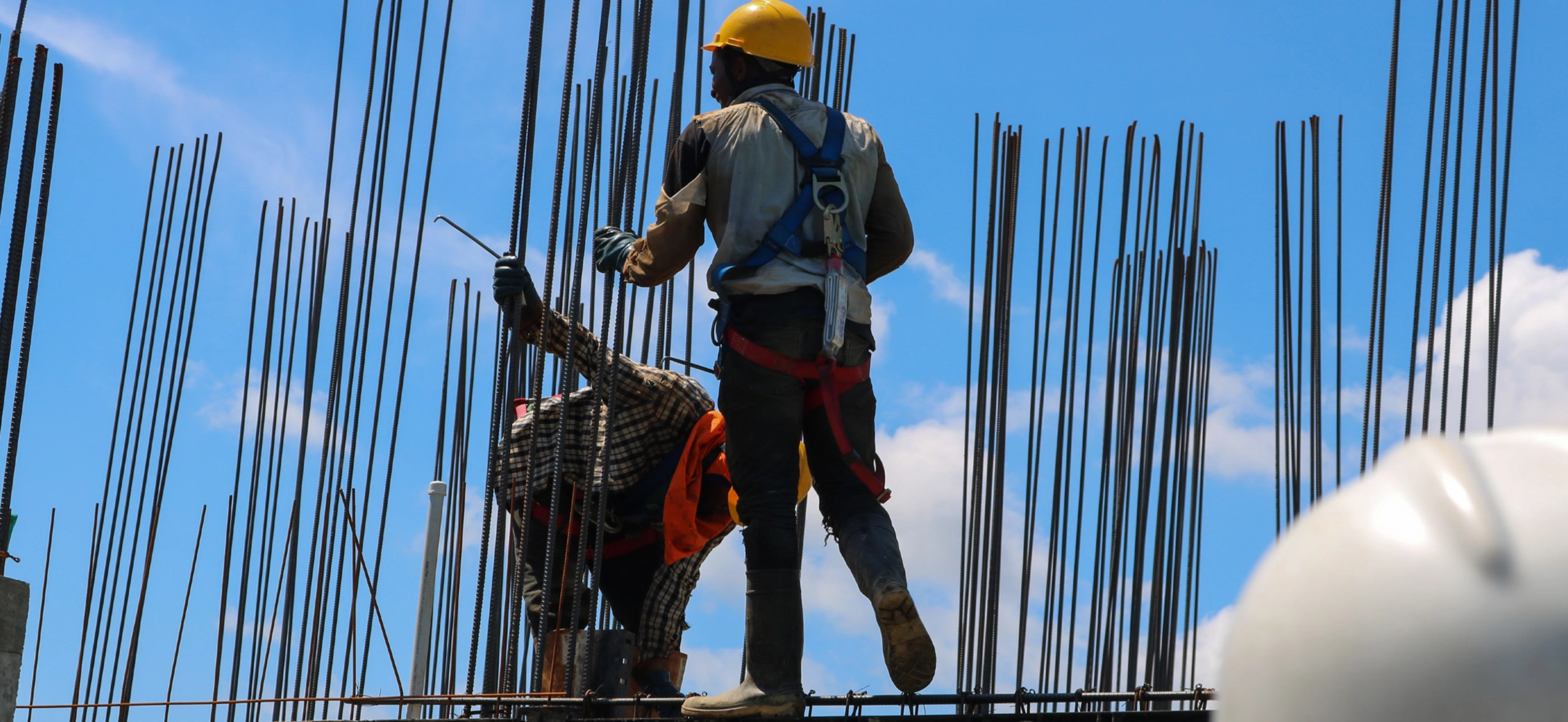
Using OpenSpace is also much easier than taking photos manually and the subsequent steps of uploading and organizing them. All that’s required is strapping a 360 camera to a hard hat and walking the site. From there, an inspector can effortlessly capture all the details of a project site, including signage, striping and pavement conditions, while remaining focused on their inspection work.
When the construction management team becomes aware of a public claim around site conditions, such as potholes, the imagery from OpenSpace is invaluable as support documentation. Its existence saves them time, since they no longer have to search through sporadically-taken manual photos in the hopes of having one from the day and location in question.
According to Rathe, OpenSpace’s thorough 360 photo documentation has several important applications, including:
Large-scale grading operations
Using OpenSpace, owners like Anser Advisory can easily track progress by the contractor and refer back to it if there’s a claim. They can pinpoint the make, model and number of excavators and bulldozers used, for example.
Claims from the public
In the event of a claim about potholes, for example, Anser is far likelier to have photo documentation from the day in question.
Vegetation control
On a recent project, Anser had to demonstrate to the client that every guardrail post had a foam block-out to prevent weeds from growing before concrete was poured. OpenSpace photo documentation software makes it simple to pull up relevant imagery captured during site walks and drop them into a presentation for the client.
A picture is worth a thousand words; OpenSpace is worth a billion words. It creates a full world.
The results
Based on the strength of its pilot usage in 2019, Rathe plans to use OpenSpace for pre-, during and post-construction activities on upcoming jobs in 2020 and beyond. “It’s a tool in the arsenal that makes my life easier,” Rathe said.
It’s an insurance policy,” Rathe said. “Project sites are unpredictable by nature, but whatever happens, you’re covered.
Overall, OpenSpace helped Anser in a variety of ways:
A more complete record
OpenSpace generates at least 10 times more photo documentation than Anser Advisor had collected by taking photos manually.
Reduced documentation time
Using OpenSpace to capture a project site is at least five times faster than taking pictures with a camera or phone.
Time savings
Rathe estimates that OpenSpace saves him at least a few hours each week, since he can use the Virtual Walkthrough feature to understand the conditions of a project site without being there in person. As a result, he doesn’t have to drive between project sites he’s overseeing as frequently, which increases his productivity. The agency Anser currently works with also has OpenSpace access, which enables Rathe to communicate with them about site conditions without leaving their respective offices. This increases the productivity of both the agency and his own construction management team.
Improved workflow
OpenSpace helps Anser Advisory actualize their project schedule and confirm when each item of work was completed, narrowing it down to a specific day or a short window of time between capture sessions. In the past, this process was more imprecise.


