Our blog author, Adam Settino, is the Director of Solutions Engineering at OpenSpace and has been in the AEC industry for 20 years. He spent seven years in design as an architect, followed by ten years in construction as Director of Virtual Design and Construction.
At OpenSpace, we make the lives of builders easier and more efficient by providing intuitive tools that take reality capture and image-based collaboration to a whole new level. Today, we’re excited to announce our latest step forward—literally another level! Introducing OpenSpace Air: a powerful new set of capabilities that bring drone imagery into the OpenSpace platform.
We’re also excited to announce that every customer with an OpenSpace subscription automatically has access to OpenSpace Air. Bring drone imagery into unlimited projects for processing into maps and 3D outputs. Yes, unlimited!
Why OpenSpace Air?
Construction teams recognize the value of aerial imagery, but until now, construction drone software tools have largely been point solutions that are complex, fragmented, and expensive. OpenSpace Air changes that.
No more switching apps. No extra logins. No additional contracts to sign (or pay for). OpenSpace Air makes construction drone imagery more accessible and actionable than ever.
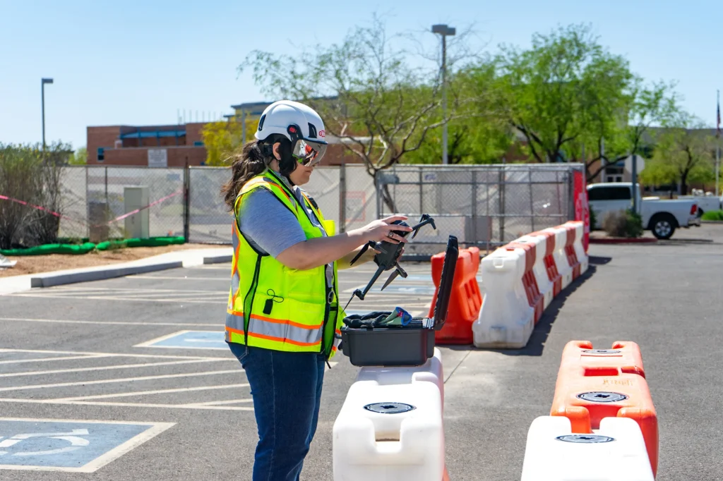
- Ingest imagery from drone captures across all your projects—even on projects you’re not yet doing 360° captures
- Start documenting sooner—with OpenSpace Air, you can get visibility on your site sooner: capture with drones to analyze site conditions and plan logistics before a shovel hits the ground
- Drone agnostic—use any popular drone or flight-planning app
- No switching platforms or apps—your aerial and 360° captures live together in OpenSpace
- Speedy upload and processing—get your data in hours, not days
- Get the answers you need with easy-to-use orthomosaics, point clouds, 3D meshes, and elevation models
- Intuitive and precise tools—plan and verify utilities, foundations, and footings with accurate measurements; overlay drawings directly on the map; and track changes and progress with visual flight comparisons
Again, all of these features are included for customers with an active OpenSpace subscription.
With the drone data integration with OpenSpace, we can now expand outside the four walls of a building to show things that we weren’t able to see before, from an extremely valuable perspective. Overall, being able to identify items on the project earlier and create efficiencies in our platforms is a big win.
One platform. Total visibility.
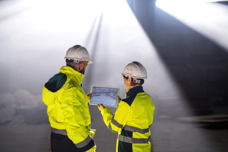
Integrating drone imagery through OpenSpace Air gives you a one-stop shop for a complete picture of your jobsite—from every angle. Easily view, manage, and analyze imagery from drones, 360° cameras, mobile devices, and laser scanners—all inside the industry’s most adopted, easiest-to-use, fastest, and most trusted reality data platform.
Whether you’re surveying a site in preconstruction, tracking grading and earthwork, or sharing aerial views with clients, Construction Drone Software, OpenSpace Air ensures that your visuals are always where you need them—and easy to work with.
Those three workflows are exactly where construction drone mapping earns its place, turning a single flight into measurements, plan overlays, and time-based comparisons.
Built for all builders—drone experts or first-timers
Just like all our solutions, we designed OpenSpace Air with simplicity and the field in mind. Other drone tools require you to manage multiple apps, hardware compatibility, or complex workflows. OpenSpace Air is essentially plug-and-play for your project teams.
You don’t need any specialty drone or software—simply use any off-the-shelf drone and software you want. Then just upload your imagery, and OpenSpace takes care of the rest—we process your orthomosaics, point clouds, 3D meshes, and elevation models quickly and clearly.
If drones are new to your workflow, a grounding in reality capture in construction helps set the context for how aerial imagery fits alongside ground-level documentation.
We developed OpenSpace Air to address a key challenge from our customers: centralizing all reality data in one place. OpenSpace Air brings the power of cutting-edge drone technology to jobsites in a simple and intuitive package. Most importantly, it was built in direct partnership with our customers—and they love it.
Tailored for results
Our goal is to fundamentally simplify how the world gets built, so you can count on our technology to continually evolve while always remaining intuitive and delivering solutions that make a difference—that’s why we built OpenSpace Air. Feedback from our Beta customers was key to delivering a drone-data solution that delivers the value builders need.
- Quickly process hundreds of drone photos
- Use your aerial data in OpenSpace Air to plan logistics, verify site-work, track progress, and prevent rework
- Take advantage of high-quality drone visuals to enhance bidding, owner updates, and inspections
Use cases for OpenSpace Air include:
- Preconstruction and estimating
- Site logistics and coordination
- QA/QC inspections and progress tracking
- Communication and collaboration between all project stakeholders
Ready to take flight?
OpenSpace Air brings aerial capture down to earth—fast, simple, and built for the way your teams actually work. And it’s available today! What better way to learn more than to see it in action?
- Take a look at our launch video
- Watch our OpenSpace Air webinar on demand
OpenSpace customers
If you already have an OpenSpace subscription, just look for the new drone icon inside any of your projects to get started.
Find helpful information in our OpenSpace Academy course and these Support articles:
- Drone Capture Best Practices
- Drone Image Uploading and Processing
- Drone Overlays to an Existing Capture
- Managing Drone Captures
Feel free to contact Support or your OpenSpace representative with any questions.
Get started with OpenSpace
Not a customer yet? Request your personalized demo here. We’ll be ready to show you how our complete reality capture solution, with OpenSpace Air included, can take your jobsite visibility to new heights.