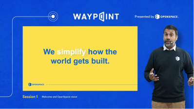
OpenSpace vision + reducing insurance costs
Insights from CEO and Co-Founder, Jeevan Kalanithi and a partnership to tackle rising insurance costs.
Watch now
This year’s customer summit packed a punch. We announced that OpenSpace is evolving into a Visual Intelligence Platform. And incredible new tech advancements.
CEO Jeevan Kalanithi makes a big announcement: OpenSpace is evolving into a Visual Intelligence Platform—the next step in unlocking the future of building.
See how Gilbane uses OpenSpace and drones to capture sites inside and out, track progress across multiple locations, and solve problems faster—with all project data in one place for teams and clients.
Director of Product Jess Lam shows how new features in OpenSpace Air turn aerial imagery into actionable intelligence.
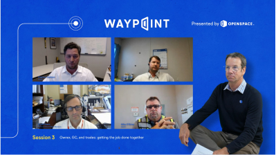
Balfour Beatty shows how OpenSpace makes real-time communication simple, speeds up punch lists with new AI Voice Notes, and saves hours by consolidating site data into one easy-to-use platform.
Learn about groundbreaking, image-first ways of getting things done with AI Autolocation and AI Voice Notes in OpenSpace Field and fast, mobile-friendly BIM Viewer.
At a 16-story project and a highway project, Skanska shares how they use OpenSpace to capture progress, quickly log and assign snags with AI Voice Notes, and more.
CTO Michael Fleischman explores the tech behind our Visual Intelligence Platform. Learn how AI Autolocation delivers real-time indoor positioning and paves the way for next-generation Spatial AI agents.