The challenge

Founded in Germany in 1965, GOPA Consulting Group is supporting the implementation of approximately 1,000 projects worldwide with a focus on development and sustainability. GOPA-International Energy Consultants GmbH (intec), one of the companies in the Group, works with international finance institutions and energy providers in developing countries to deliver and optimize energy supply methods. In these projects, the company consults its clients in deploying utility-scale solar arrays over vast areas of land with the objective of capturing solar radiation and transforming it into electricity. These arrays consist of thousands, or even millions, of individual solar panels interconnected in an organized manner to ensure efficient energy conversion and collection.

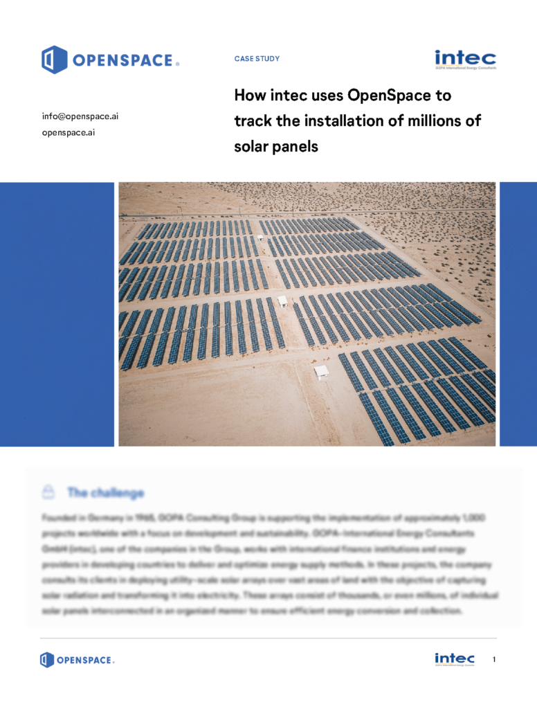
With the company headquarters based in Germany, clients all over the world, and most projects happening in Africa, Eastern Europe and Central Asia, maintaining full visibility over the progress on-site can be a challenge. “The sites that we supervise are huge. They involve very large photovoltaic systems. I currently work on a project that is 12 hectares in size, that’s 120,000 square meters,” says Karsten Ley, Project Manager and Renewable Energy Expert at intec.

Given the substantial scale of these projects, careful planning, engineering, and construction supervision are critical to ensure effective utilization of resources and seamless operation. To keep track of progress and share regular updates with clients and stakeholders, the team has been taking photos of the site manually and using them to create regular progress reports. “Our supervisors are always on site to document the progress of the work. We meet on site every three to six months to verify the status.” Karsten says. This also means that the latest site information can be three to six months old when the team looks at it.

The team’s challenge: find a way to simplify and speed up progress reporting via photo documentation.

The solution

Sister company GOPA Infra was using OpenSpace on several construction projects, and recommended the solution. “It was clear that the technology could support projects in remote management, monitoring, and verification,” Karsten says. To increase the efficiency and coverage of their photo documentation, the team at intec set up their own process of capturing with OpenSpace. They identified specific points on their layout plan and regularly take 360° photos of those points using a 360° camera and OpenSpace. This process has proven successful—so successful in fact, that the team now captures the site once a week, instead of every three to six months.

To Karsten, the benefits of this process are clear: “One of the main advantages for us is the fact that we now have a nearly live image of the construction site. We can see what has happened, what has been built and where there might be issues. So we can also react promptly to those issues and discuss them with the international and local project team.”

To make the captures easily accessible for all involved, the team integrates the data into their regular reporting, as well as in their custom built dashboards in MS Sharepoint. Each project has an individual dashboard with a direct link to their respective project in OpenSpace.

One of the main advantages for us is the fact that we now have a nearly live image of the construction site. We can see what has happened, what has been built and where there might be issues. So we can also react promptly to those issues and discuss them with the international and local project team.

Karsten Ley, Project Manager and Renewable Energy Expert

The results

Clients benefit from their own visitor access—they can log in to OpenSpace anytime, from anywhere to see the most recent captures and compare the progress to previous dates. According to Karsten, financial institutions are especially making use of this option to keep track of their investments. “This is very well received by clients,” he says.

It was clear that the technology could support projects in remote management, monitoring, and verification.

Karsten Ley, Project Manager and Renewable Energy Expert

Another benefit for intec’s team is that they can now supervise and remotely manage sites. intec uses OpenSpace when working in areas where it’s too dangerous to travel, such as conflict zones and areas affected by natural disasters, and when the distance between project sites makes it difficult to complete work in a timely manner. Karsten highlights the fact that his site visits are now a lot more effective since he can prepare for his visits in advance by easily analyzing their latest OpenSpace captures.

To make coordination and communication even easier and more effective, Karsten and his team are planning to start leveraging Field Notes in OpenSpace in the near future: a feature that enables them to raise issues or RFIs directly in the platform, pinpointed to a specific location.

Overall, the advantages of using 360° reality capture are already clear: the intec team is currently using OpenSpace on more than ten projects globally, and they plan to leverage OpenSpace on each new construction project going forward, to bring more transparency and efficiency to their sites and the clients.


Dig deeper